See MyFieldTracker in Action
Use your existing ArcGIS map data, including layers, boundaries, and attributes to define harvesting areas, stream boundaries and other areas.
Reduce flagging expenses by using GeoFenced boundaries to notify equipment operators when they are nearing boundaries or other critcal areas as ELZ and R-ELZ areas. Add improved efficiency, tracking and boundary management to your harvesting operations!
Include job specific data such as sort sheets, fire requirements and other important information.
Phone and Tablet Support
Use standard WIFI Only iPads, iPhones and Android Devices to run the MyFieldTracker app.
No cell service required once map is downloaded. Sync devices when back in cell service to receive updates and sync data.
Supports both Garmin and Bad-Elf GPS boosters.

GeoFenced Real-Time Boundary Alerts
Define areas of your map where operators can be alerted both with visual and audio alerts of approaching boundaries, or entering boundaries.
Boundaries may also include notes such as "Cut only 6 inch trees and larger", etc.

Operator/Machine Tracking
Track machines so that other operators know where others have been on the job and the operator can see where they have covered.
Display only the tracks of machines you wish to see. Easily see how much of an area has been processed.

Obstacle and Area of Interest Marking
Operators can mark areas and make notes that other operators can view. Notes may also contain pictures for quick reference.
Easily keep track of swampy areas, creek crossings, etc.

Distance and Area Measurement
Measure straight line and area distance anywhere on the map to help assess harvesting and operation areas.

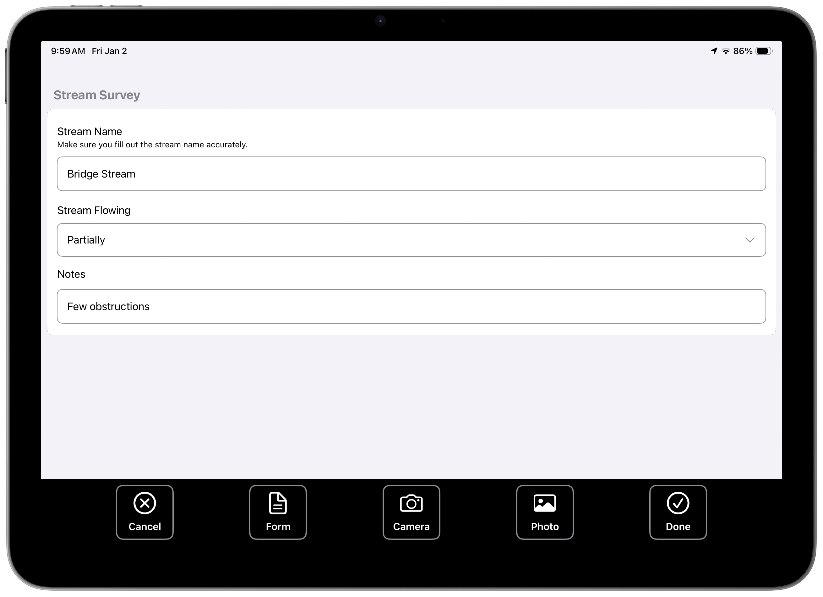
Custom Surveys for Streams, etc.
Create unlimited surveys for Streams, Culverts, and other in the field data collection.

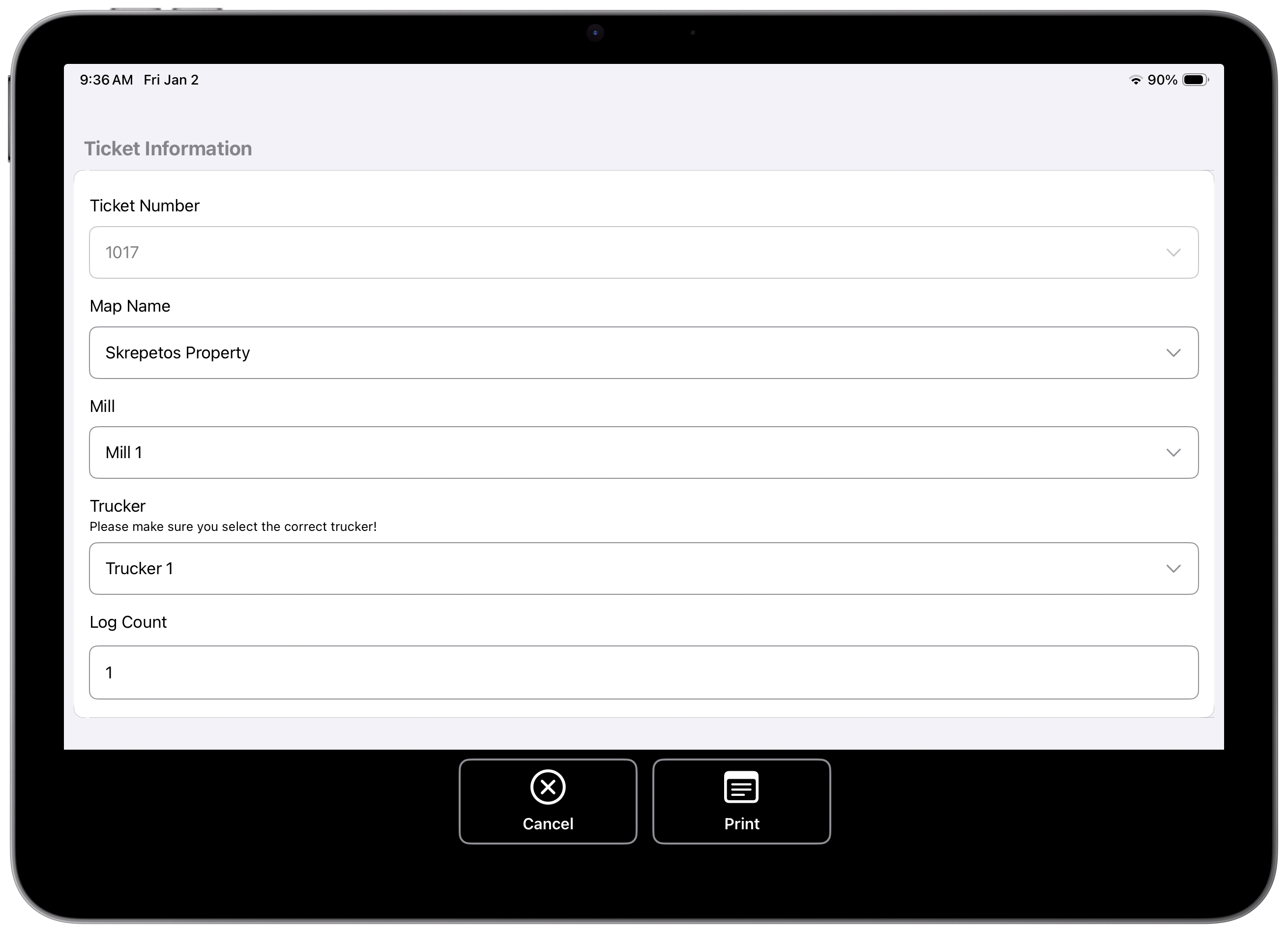
Electronic Load Ticketing
Create and Print Load Tickets right from your machine. Create/Customize your own load ticket forms..

(c) Copyright 2023-2025 - MyFieldTracker - All Rights Reserved.